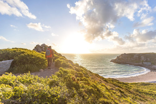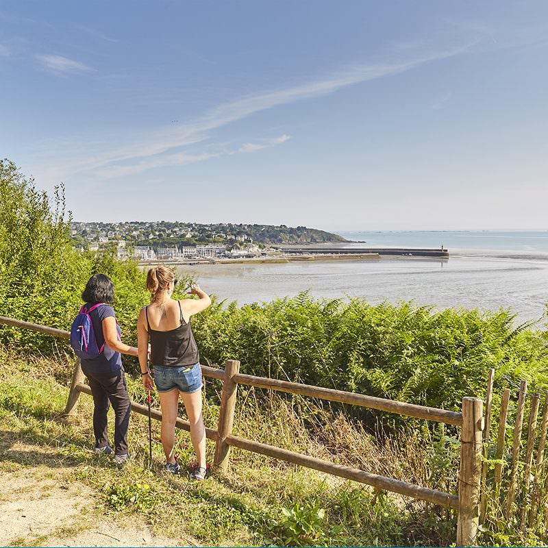
Les Bernains
Discover the harbour and the view from the Bernains park. Pushchair-friendly (note: steep in places).
- 4 kmDistance
- 1hDuration
- 90 mElevation
Start · Tourist Office, 6 place Le Pomellec

Need some inspiration for your next hike?
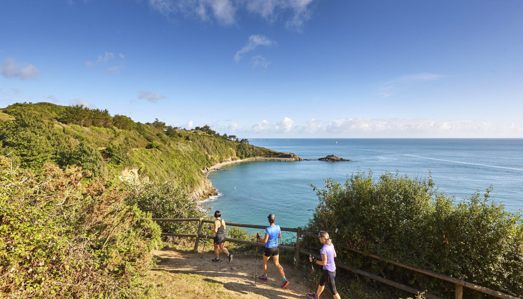
Five walking routes and one cycling route, all waymarked, starting from Binic or Étables-sur-Mer. From a one-hour family stroll to the great 14 km loop between harbour, beaches and forests: choose your route and take the map with you.
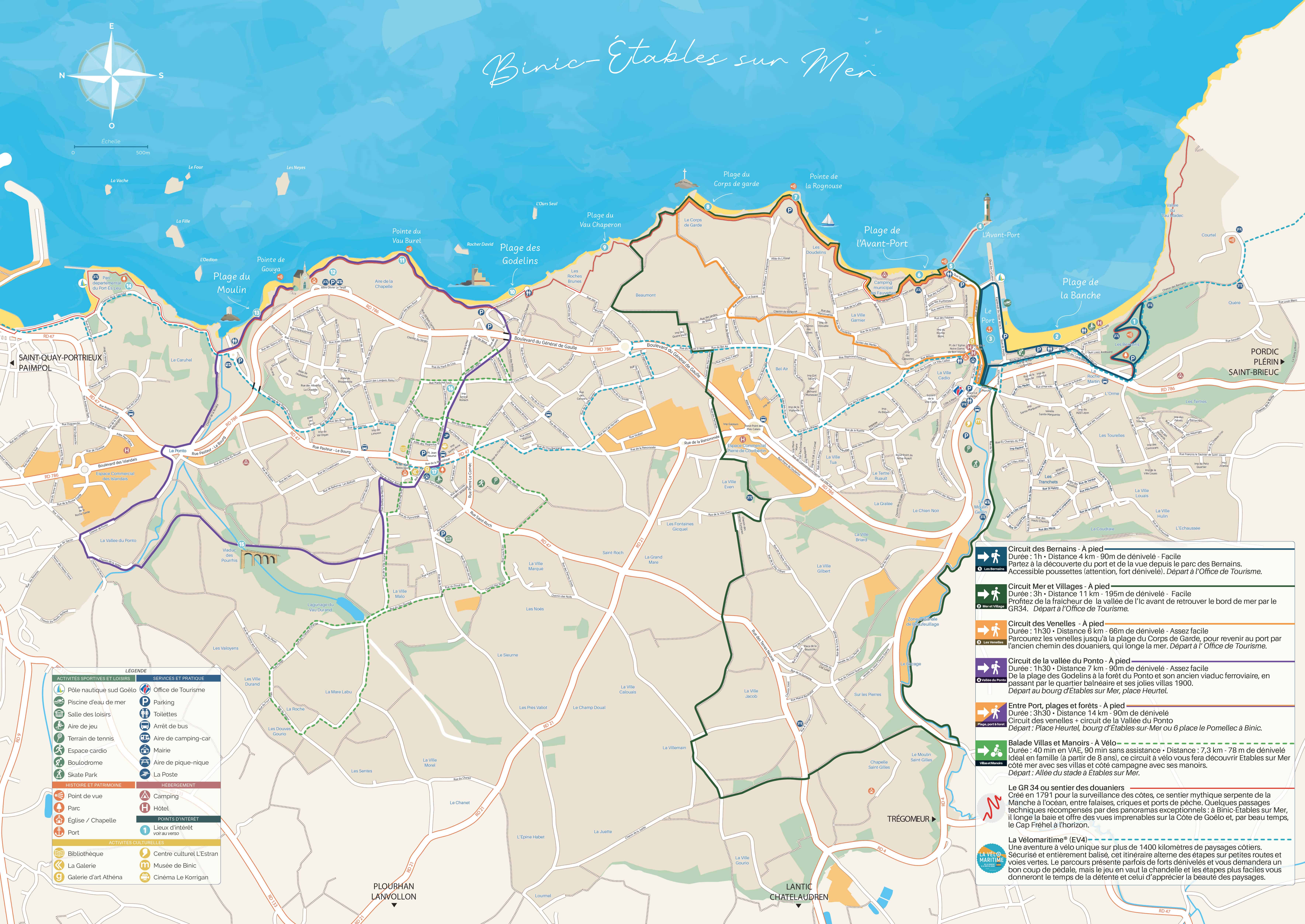
The city map to take with you
Plan your stay in Binic-Étables-sur-Mer with our city map! Every walking and cycling route, the GR34, La Vélomaritime and our favourite spots are marked on it. Set off on your adventure with total peace of mind!
Also available free of charge in print at the Tourist Office.
On foot
Three routes start from the Tourist Office in Binic, one from the village of Étables-sur-Mer. To help you prepare, a route sheet detailing each stage of the trail is available for every circuit.
Discover the harbour and the view from the Bernains park. Pushchair-friendly (note: steep in places).
Start · Tourist Office, 6 place Le Pomellec
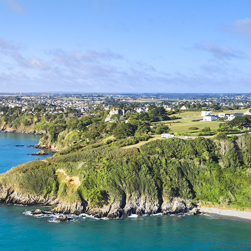
Enjoy the cool of the Ic valley before returning to the coast along the GR34.
Start · Tourist Office, 6 place Le Pomellec
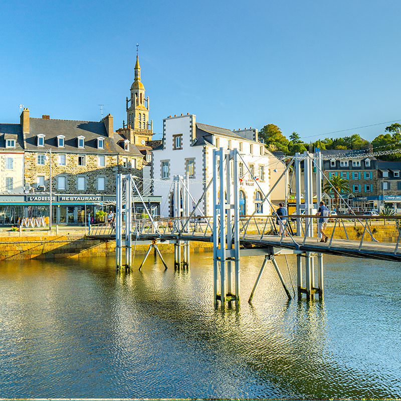
Wander the venelles, the narrow fishermen's lanes, down to Corps de Garde beach, then head back to the harbour along the old customs path by the sea.
Start · Tourist Office, 6 place Le Pomellec
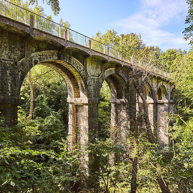
From Godelins beach to the Ponto forest and its old railway viaduct, passing through the seaside district and its pretty 1900s villas.
Start · Place Heurtel, village of Étables-sur-Mer
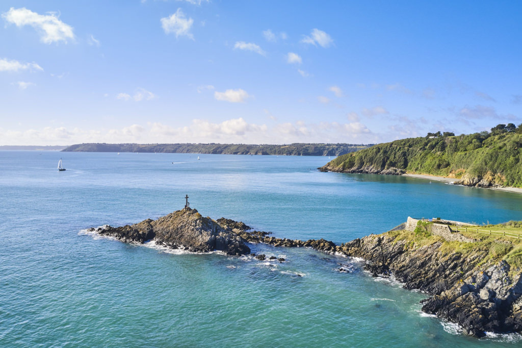
The grand tour: the Venelles circuit linked to the Vallée du Ponto one, from the GR34 to the inland countryside. Follow one set of markers, then the other, in whichever direction suits you.
Start · Place Heurtel (Étables) or 6 place Le Pomellec (Binic)
No dedicated route sheet — follow the Venelles sheet, then the Vallée du Ponto one.
By bike
An easy loop discovering Étables-sur-Mer, seaside and countryside.
 Villas & Manoirs · by bike
Ideal for families (ages 8 and up), this cycling route takes you around Étables-sur-Mer: the seaside with its villas, and the countryside with its manor houses.
Start · Allée du stade, Étables-sur-Mer · Allow 1h30 without electric assistance
The great trails
Three exceptional trails pass through Binic-Étables-sur-Mer — for a single stage, a day, or several weeks.
Created in 1791 to watch over the coast, this legendary path hugs the bay at Binic-Étables: cliffs, coves and sweeping views over the Goëlo coast — and Cap Fréhel on the horizon on a clear day.
Discover the customs officers' path →Over 1,400 km of coastal scenery, fully waymarked, between quiet lanes and greenways. A few good climbs, amply rewarded by the view.
Our cycling routes →Nearly 1,500 km in the footsteps of the Seven Founding Saints, to complete in one go or stage by stage. A medieval pilgrimage as famous, in its day, as Compostela.
On the GR34
To plan your stage along the coast, on foot on the customs officers' path.
| Place | Distance | Time |
|---|---|---|
| Outer harbour (zig-zag steps) | 750 m | 10 min |
| Pointe de la Rognouse | 2 km | 25 min |
| Corps de Garde beach | 2.5 km | 40 min |
| Godelins beach | 5 km | 1h |
| La Chapelle rest area | 6 km | 1h20 |
| Moulin beach | 7 km | 1h35 |
| Place | Distance | Time |
|---|---|---|
| Port Ès Leu | 7.5 km | 2h |
| Old port of Saint-Quay-Portrieux | 8.9 km | 2h15 |
| La Comtesse beach — Saint-Quay-Portrieux | 9 km | 2h35 |
| Casino beach — Saint-Quay-Portrieux | 11 km | 3h |
| Saint-Marc beach — Tréveneuc | 14 km | 3h30 |
| Port Goret — Tréveneuc | 16 km | 4h |
Good to know
Pick up all our walking route sheets and the Walks & Hikes map free of charge at the Tourist Office, 6 place Le Pomellec. Our team can also advise you on the cycling routes.
The hiker's code (PDF)Want to keep exploring? Browse our other ideas for getting active and discovering the area.